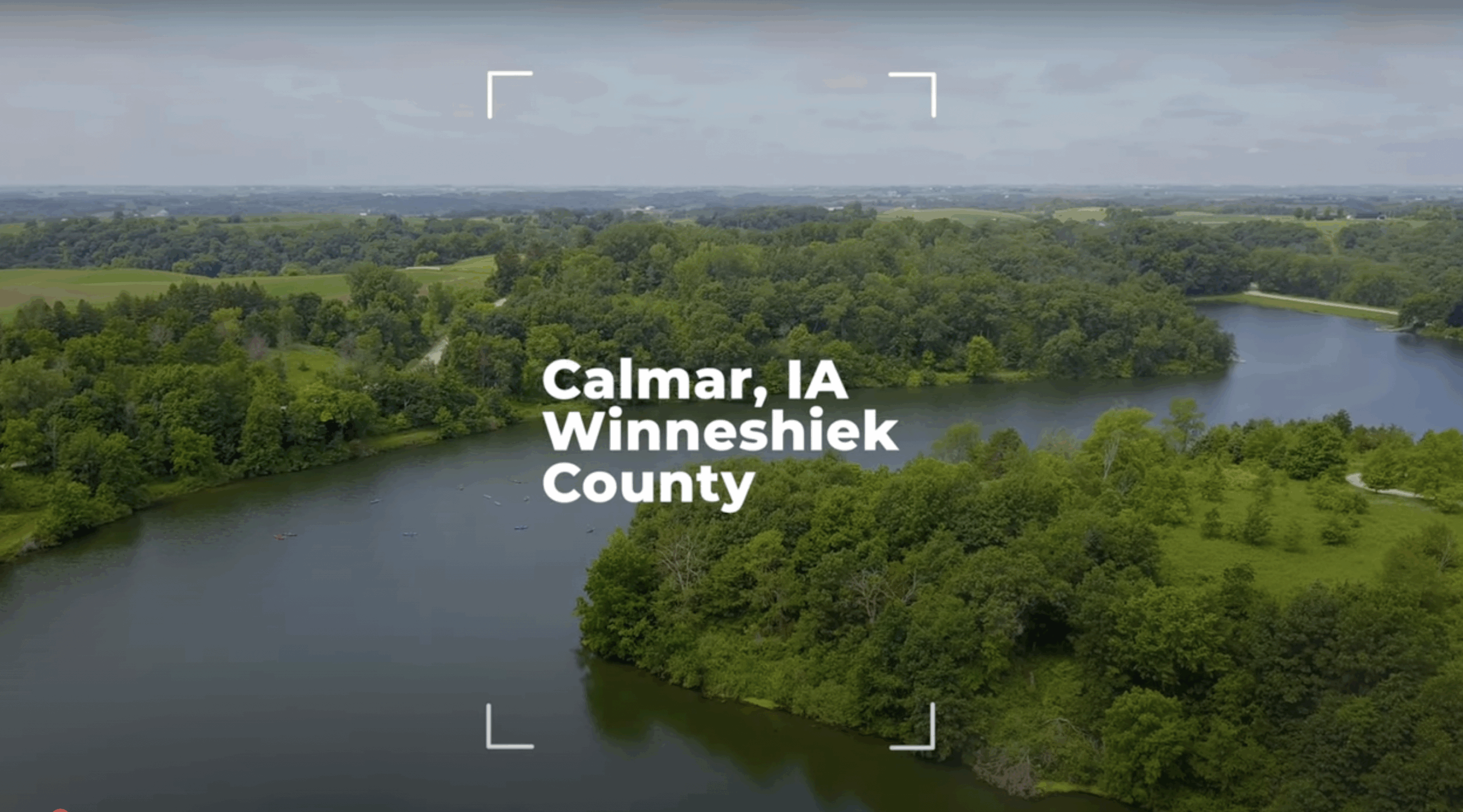
 To understand why northeast Iowa, southeast Minnesota, and southwest Wisconsin are collectively known as the “Driftless Area,” you must first look back hundreds of thousands of years.
Throughout time, parts of North America have been covered by glaciers, towering masses of dense ice formed over centuries by the compaction of layer upon layer of snow. Glaciers are so massive they move under their own weight. Over time, they have repeatedly advanced and retreated from the upper half of North America, down through the Upper Midwest and Great Lakes region. As they did so, the ice sheets scoured, ground down, and flattened the landscape, leaving behind silt, sand, gravel, boulders, and other debris known as “glacial drift” when they receded.
The Driftless Area was missed by the most recent glaciation, and maybe others before it. The glaciers advanced and retreated around, but not over, the region. And so, the land was not ground down and covered by deposits of glacial drift. Hence, the “Driftless” area.
You can see this geological evidence as you explore the Driftless Area: the deep valleys, exposed bedrock, and towering bluffs are all there because the rivers and streams of the area have had millions of years to carve and erode the underlying bedrock, their work never erased by the flattening of the land and laying down of new sediment.
The area is also defined by its unique karst topography. Its underlying bedrock of limestone, dolomite, and other rocks are slowly dissolved by water, creating caves, sinkholes, springs, and coldwater streams unique to this part of the Midwest, creating remarkable natural wonders just waiting for you to discover.
